
- This event has passed.
Terrain Modeling & Grading in Rhino with RhinoLands
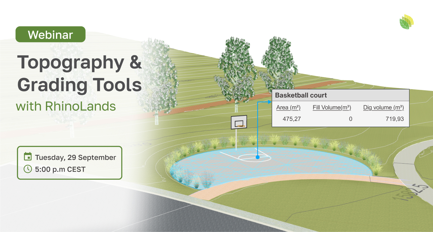
September 29, 2026 — 17:00 CEST (Check your local time)
Working with real terrain in Rhino? See how to turn topographic data into a terrain model you can actually design with.
Whether you are designing a building site, public space, infrastructure, urban development, park, or landscape project, understanding and modifying the existing terrain is often a fundamental part of the design process.
In this free webinar, we’ll explore how RhinoLands extends Rhino with dedicated tools for terrain modeling, grading, and earthwork calculations.
Starting from contour lines, points, or other topographic data, we’ll build a 3D terrain and then move into practical grading operations to adapt the land to a proposed design.
You’ll see how to:
Generate accurate 3D terrain from contours, points, and other source data.
Reshape existing topography directly within Rhino.
Create grading operations for platforms, roads, paths, and other site interventions.
Define and control slopes and elevations.
Analyze cut and fill as the design develops.
Calculate earthwork volumes and areas for individual terrain operations.
The session is aimed at Rhino users working with sites and topography—including architects, civil engineers, urban designers and planners, and landscape architects—who want a more specialized terrain workflow while remaining in the familiar Rhino environment.
Bring the terrain into your Rhino workflow—and start designing with it, not around it.
September 29 at 17:00 CEST
Register for the webinar